Mt. Tachiokayama

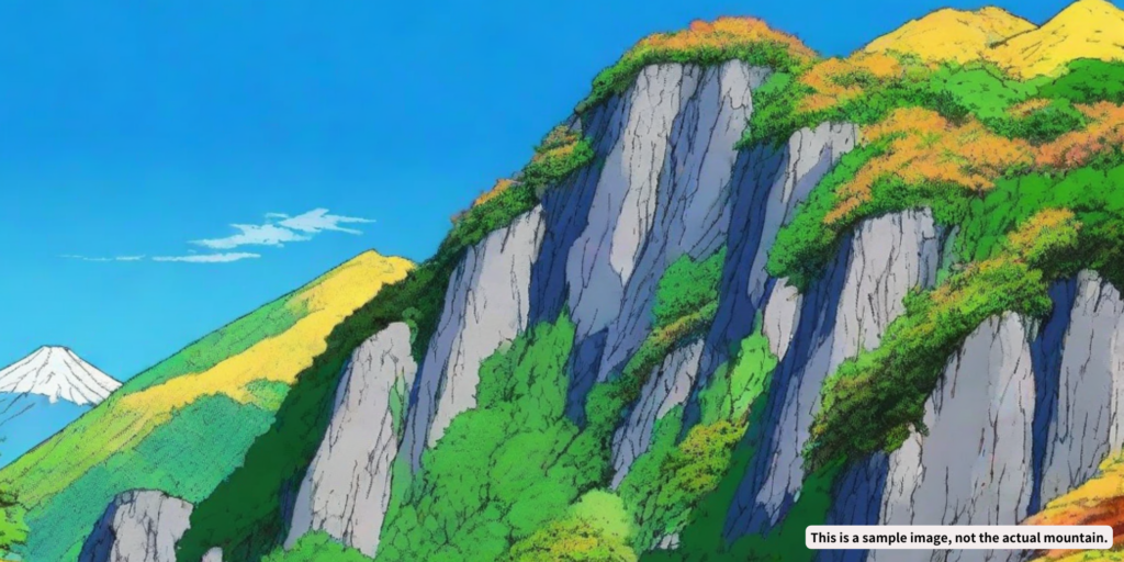
Mt. Tachiokayama (or Tachioka-yama) is a mountain peaking at 1,295 meters, straddling Kofu City and Kai City in Yamanashi Prefecture. Apart from its eastern side, which lies near the revered Mt. Mitake and Shosenkyo Gorge, it forms part of the Kurofuji Volcanic Group linked by ridges to Kurofuji, Magaridake, Kanagatake, and Kayagatake. The southwest face of Tachiokayama boasts over a hundred meters of rock walls that are a climber's delight, with the bizarrely shaped Hasami-iwa (Scissor Rock) known for its peculiar form at the top. The summit offers spectacular views of the Southern Alps, the Kofu Basin, and towards Shosenkyo Gorge.
Tachiokayama is steeped in legend, including tales of Yamato Takeru, who reportedly deposited his great sword here upon returning from his eastern expedition, and stories surrounding the Tateoka Shrine. From the south side in the Kofu Basin, the mountain's silhouette, when accented by clouds, recalls the iconic shape of Mt. Fuji, sometimes leading to its confusion with Kurofuji, which lies a little to the north.
To access Tachiokayama, take the bus from Kofu City to the end of the Kiyokawa line or disembark at Miyazawa Bridge on the Shosenkyo line, then take the path winding left beneath the rock face towards the summit. From the trailhead, it's about a 10-minute walk to the bus stop and approximately an hour and a half climb to the summit.
*Before heading out on a hike, make sure to stay updated with the latest information on trails and other important details.
