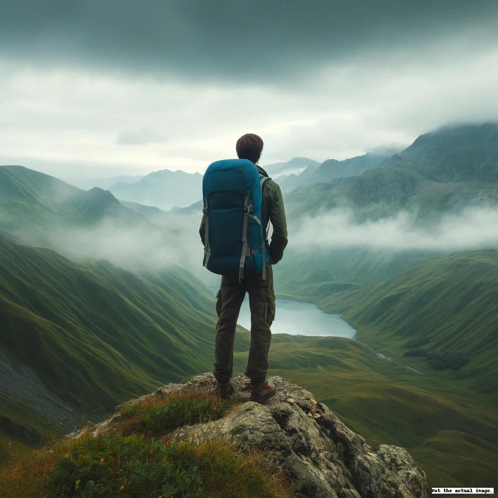
Mt. Kurofuji

Mt. Kurofuji (meaning Black Fuji), standing at 1,633 meters, is situated on the right bank of the Arakawa River to the west of Kurodaira, Kofu City, in Yamanashi Prefecture. The peak, belonging to Kofu City, lies on a ridge that branches east from the main ridge and forms the Kurofuji Volcanic Group with Tachiokayama, Magaridake, Kanagatake, and Kayagatake, possessing the group's most extensive pyroclastic flow. Notably, on the eastern side of the summit at Nekozaka, you'll find the Tsubame-iwa Rock, a natural monument considered a parasitic cone of the Kurofuji volcano.
From the Kofu Basin in the south, Tachiokayama can often be mistaken for Kurofuji. However, from the north, Kurofuji itself can be recognized as Fuji-shaped, with a particularly splendid view from Nagakubo Pass, once a pilgrimage route to Mt. Kinpu.
Kurofuji is rich in deciduous trees, bustling in spring with foragers of wild vegetables. Around June, a variety of azaleas, including the Mitsuba Azalea, burst into beautiful bloom. The ridge from Magaridake to Kurofuji offers breathtaking panoramas of the Okuchichibu Mountains, the Southern Alps, and Mt. Fuji.
Many hikers don't just target Kurofuji alone but traverse from Kannon Pass or Magaridake to descend to the Hiramijo settlement, or they pass along the ridge to Tachiokayama.
The primary access for climbers is by car, heading from Kiyokawa to Kannon Pass, then traversing from Magaridake and Haccho Pass to reach the summit of Kurofuji. The south face of the summit has steep cliffs that require caution. There's a route descending southwest from Haccho Pass to Hiramijo, and another to Tachiokayama along the ridge, reaching the Kusakasawa Forest Road at Koedo-toge, which takes about 1 hour and 30 minutes. The hike from Kiyokawa to Kannon Pass takes roughly 2 hours, about 40 minutes to Magaridake, approximately 30 minutes from Haccho Pass to Kurofuji, and around 1 hour to descend to Hiramijo, with an additional hour's descent back to Kiyokawa.
