Mt. Amigasa

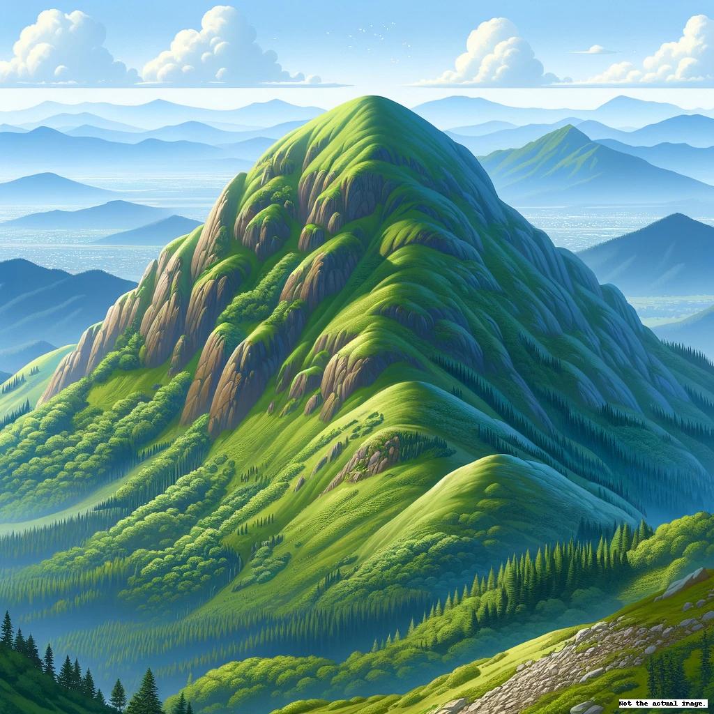
Mt. Amigasa (Amigasa-yama), reaching an elevation of 2,524 meters, sits at the southern end of the Yatsugatake mountain range, straddling the border between Kobuchisawa Town in Yamanashi and Fujimi Town in Nagano. The mountain's name, meaning "basket hat," comes from its unique cap-like curved shape that rises above its expansive foothills, presenting a gentler aspect amid the rugged Yatsugatake peaks.
The summit is strewn with rocky debris, amidst which high alpine plants such as bearberry, dwarf stone pine, and alpine snowbell thrive. Below the peak, the dwarf pine (haimatsu) is densely clustered. The western, southern, and northern faces feature large boulders, with the northern slope in particular crossing a rocky belt. The northeastern saddle is home to the Seinen Mountain Cabin.
From the top, one can enjoy sweeping views of the Yatsugatake mountains, the Northern, Central, and Southern Alps, the Tenshi Mountain Range, the Misaka Mountain Range, and even Mt. Fuji. A short descent of about 100 meters from the summit reveals a site where Jomon Period arrowheads made of obsidian were discovered.
There are trails leading to the summit from both the Yamanashi and Nagano sides. From Yamanashi, the trail starts at Kannon-daira and its observation deck, converges at the Sea of Clouds Viewpoint (Unkai-tenbo-dai), and proceeds through a forested area to Oshide River, a trek of about two hours. From Oshide River, a steep path through the dwarf pine leads directly to the summit, reaching it in approximately one hour. Alternatively, a trail skirts the right side of the mountain slope, reaching the summit via the Seinen Mountain Cabin in about one hour. From Nagano, the climb begins at Fudo Shimizu in Fujimi Highlands and takes around three hours to the summit.
*Before heading out on a hike, make sure to stay updated with the latest information on trails and other important details.
